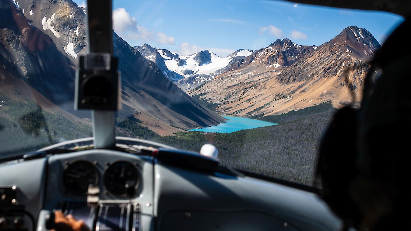
Riding Through Time: Bikepacking the Historic Trails of South Chilcotin Mountains
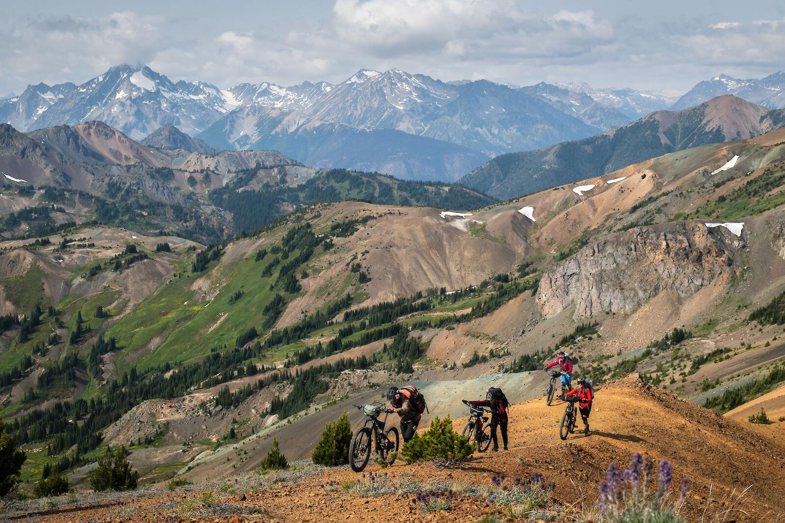
As I look down at the winding trail that carves through colorful volcano shaped mountains, I can't help but wonder how it all started and whose footprints laid there before me. Long before our muddy mountain biking shoes transported us through these striking alpine meadows, lay a rich history of people who travelled by horse and foot.
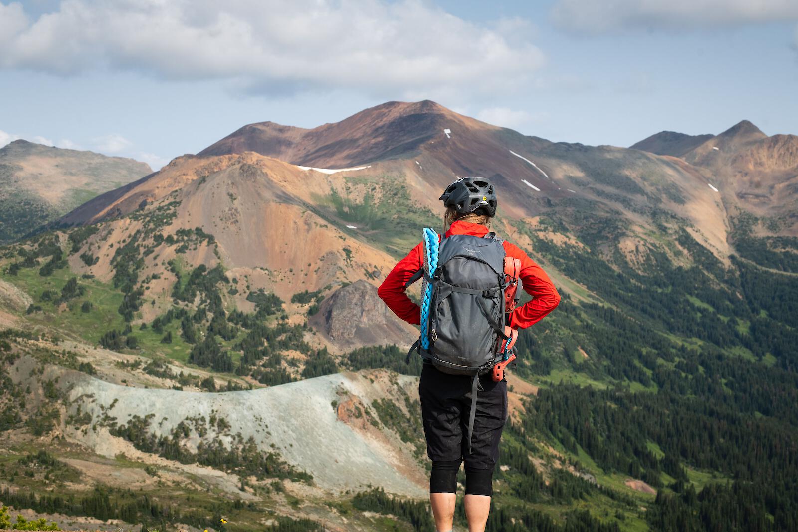
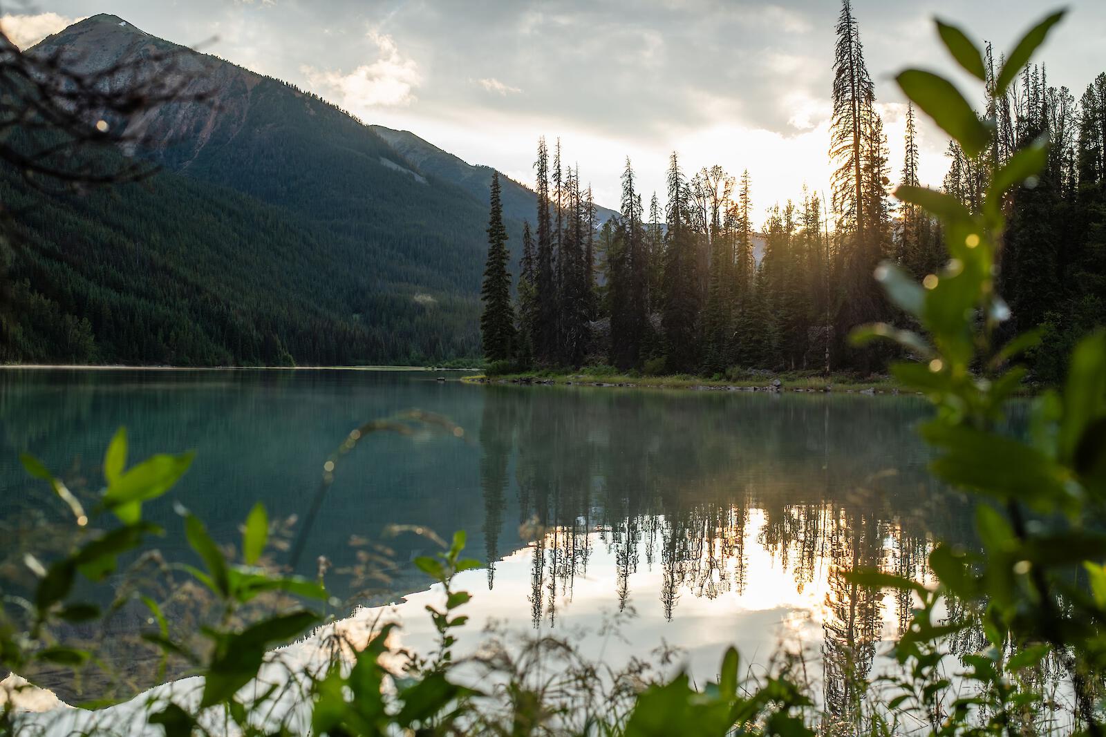
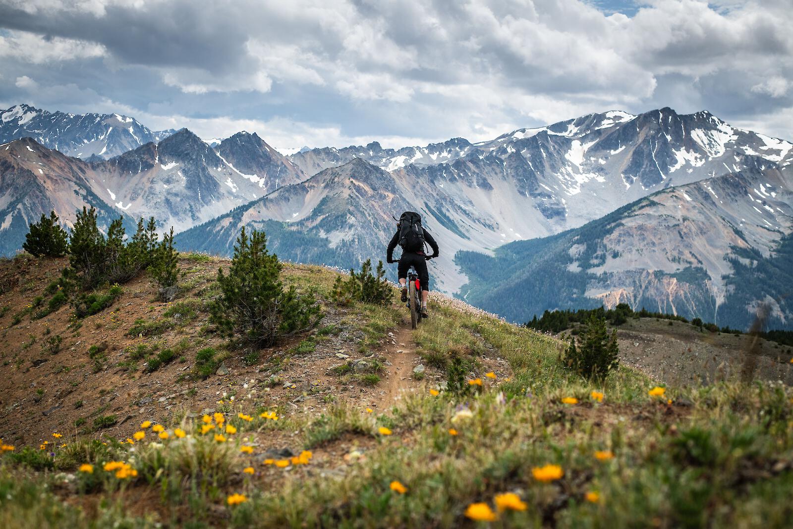
The South Chilcotin Mountains Park as we now know it - with more than 200km of recreational trails - was originally used by the First Nations people thousands of years ago. This land lies within the territories of the Tsilhqot’in, St’at’imc, and Secwepemc Nations, who first established this network of trails. They linked key routes in the Park through Elbow Pass, Warner Lake, Tyaughton Creek, Spruce Lake, and Gun Creek. Fast forward to the 1900s, the landscape saw the introduction of mining and livestock grazing. By 1937, calls to protect the area began, and in April 2001, it finally received official designation as a protected park.


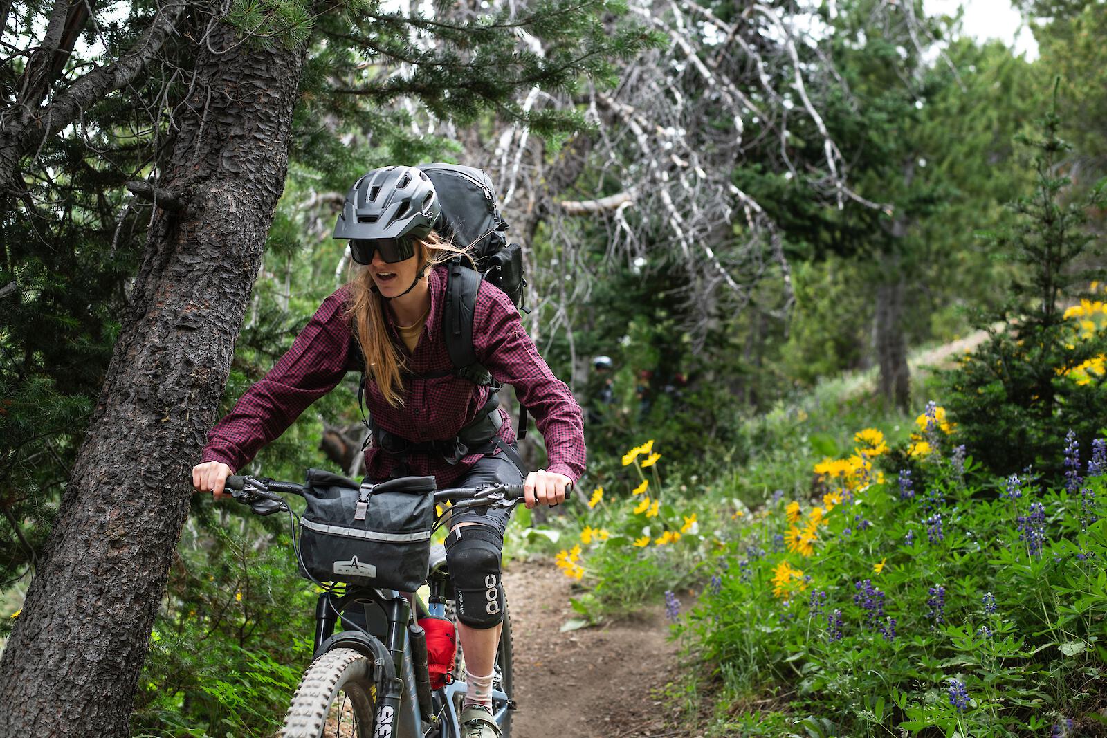
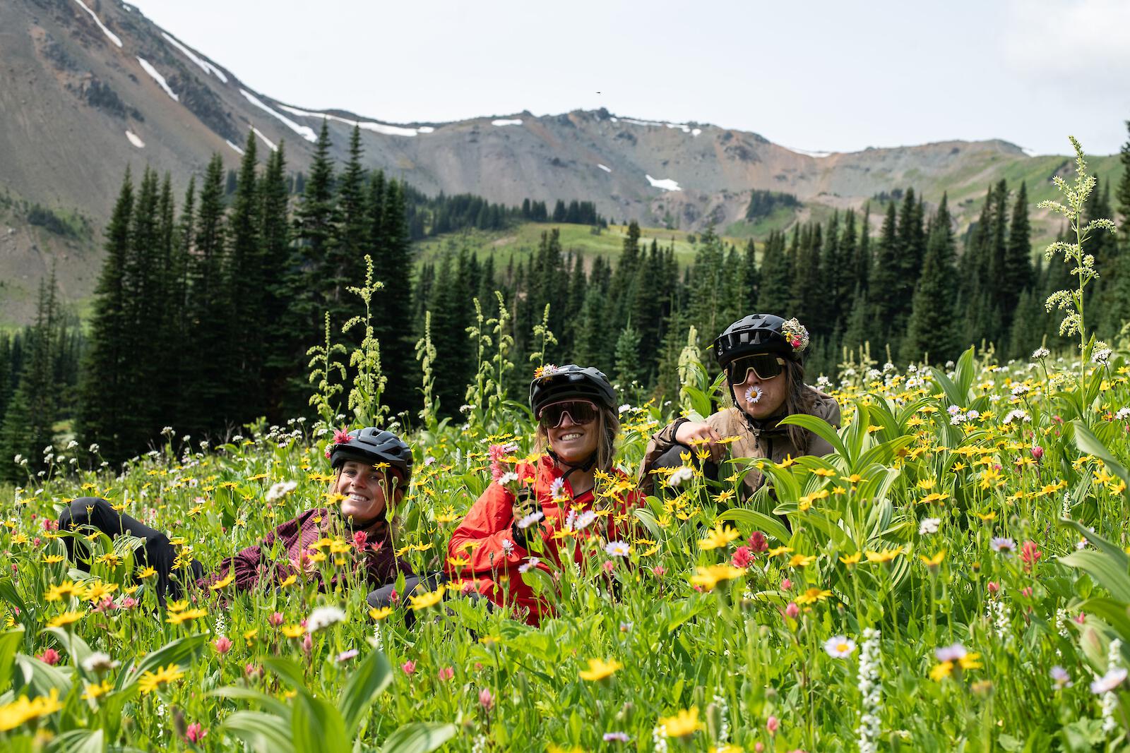
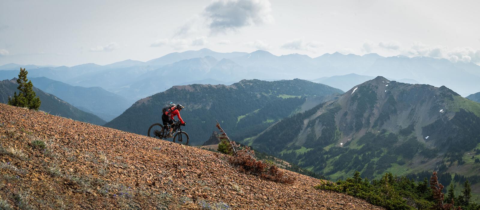
Now that we have caught up on a much needed history lesson, I have to say that this was one of the best bike-packing trips I have ever embarked upon. As the bruises fade and amnesia sets in, the agony of hauling your bike and cursing into the wind is replaced with fond memories of serene landscapes and laughter with friends. There is a reason why there are hundreds of articles praising the Chilcotins. The rumors are true - the Chilcotins are everything you wish them to be and more. Challenging hike-a-bike ascents, beautiful flowing alpine trails, technical rocky sections and nail biting ridge traverses. What's there not to like?
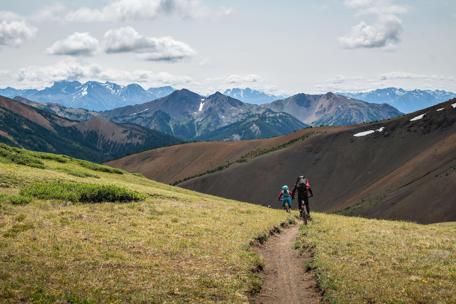
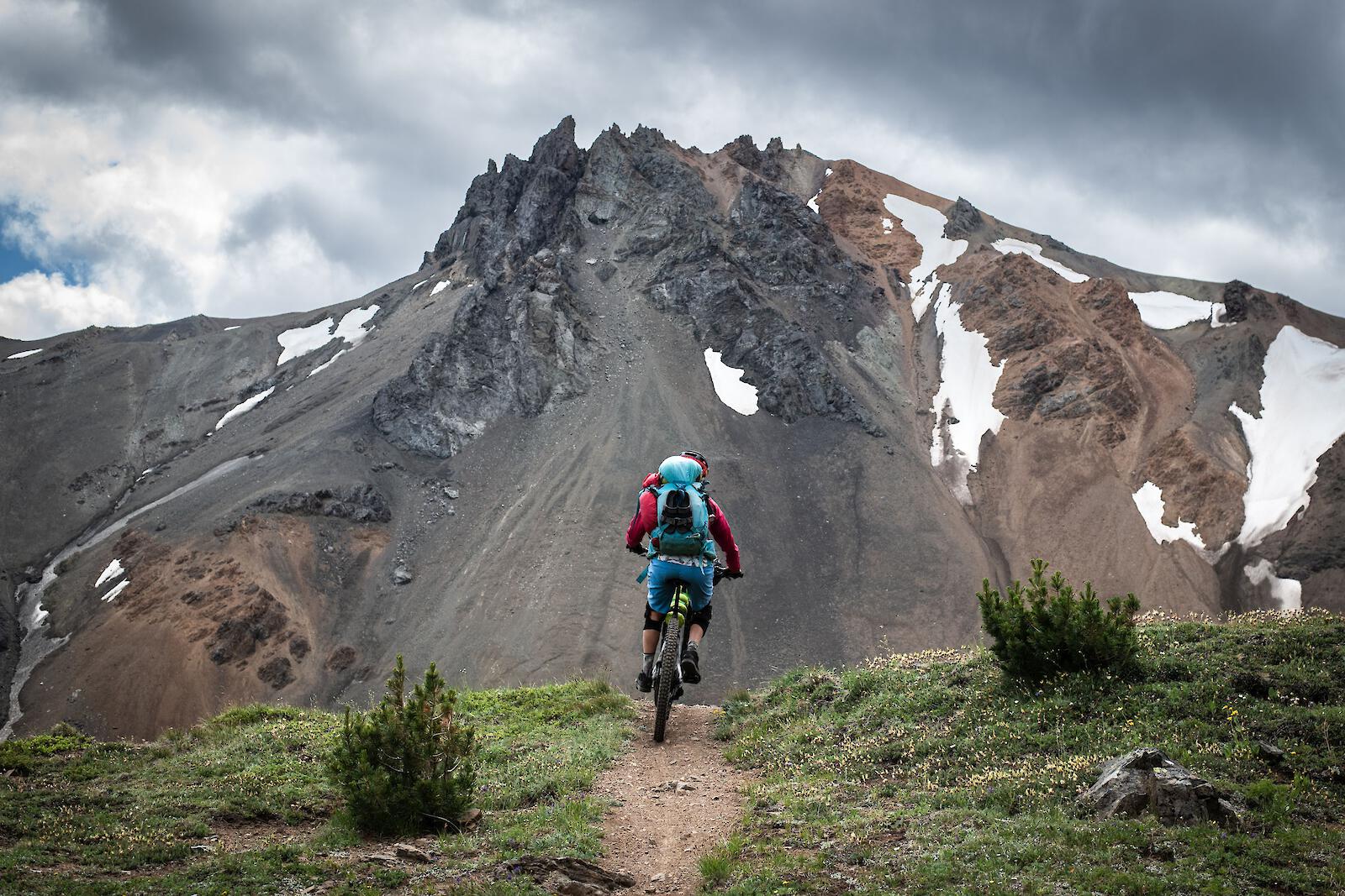
If you are an intermediate or expert rider and enjoy a type-2-fun kind of day, then this adventure will be right up your alley. It's crucial to understand that this is genuine backcountry - remote and unforgiving. You must come fully prepared with the right gear and a strong focus on safety, as assistance is very far away. Bringing an inReach device, a decent first aid kit and a paper map is highly recommended to ensure you're equipped for any situation.
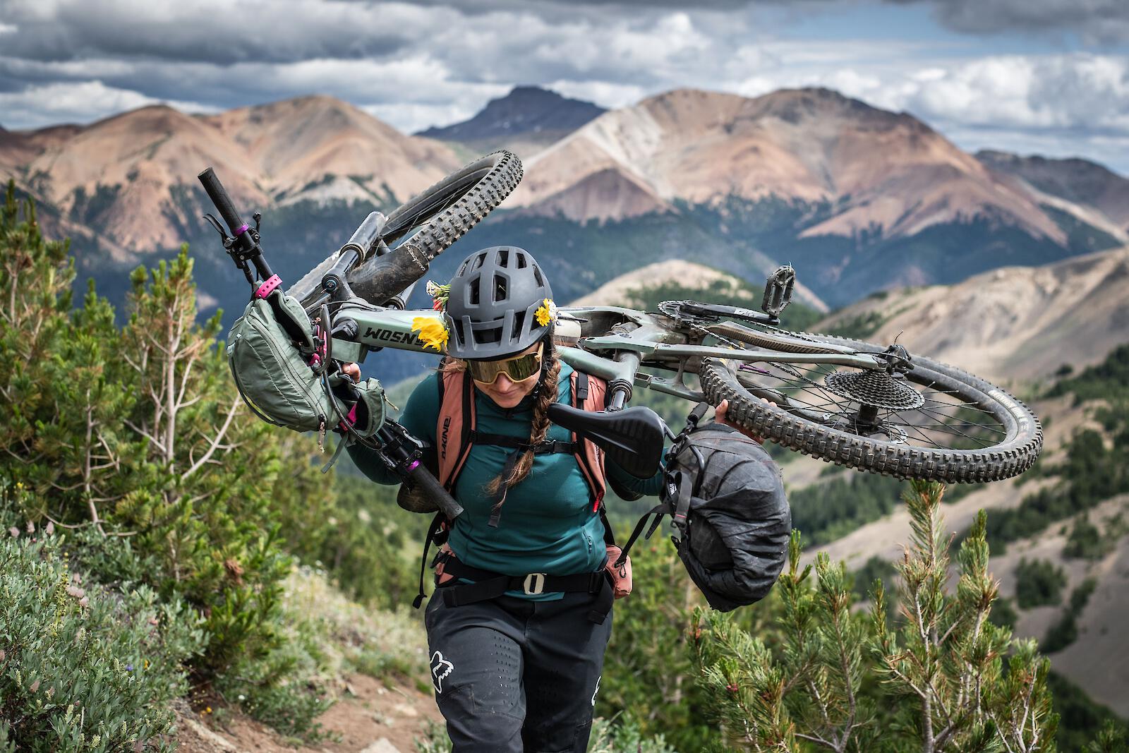
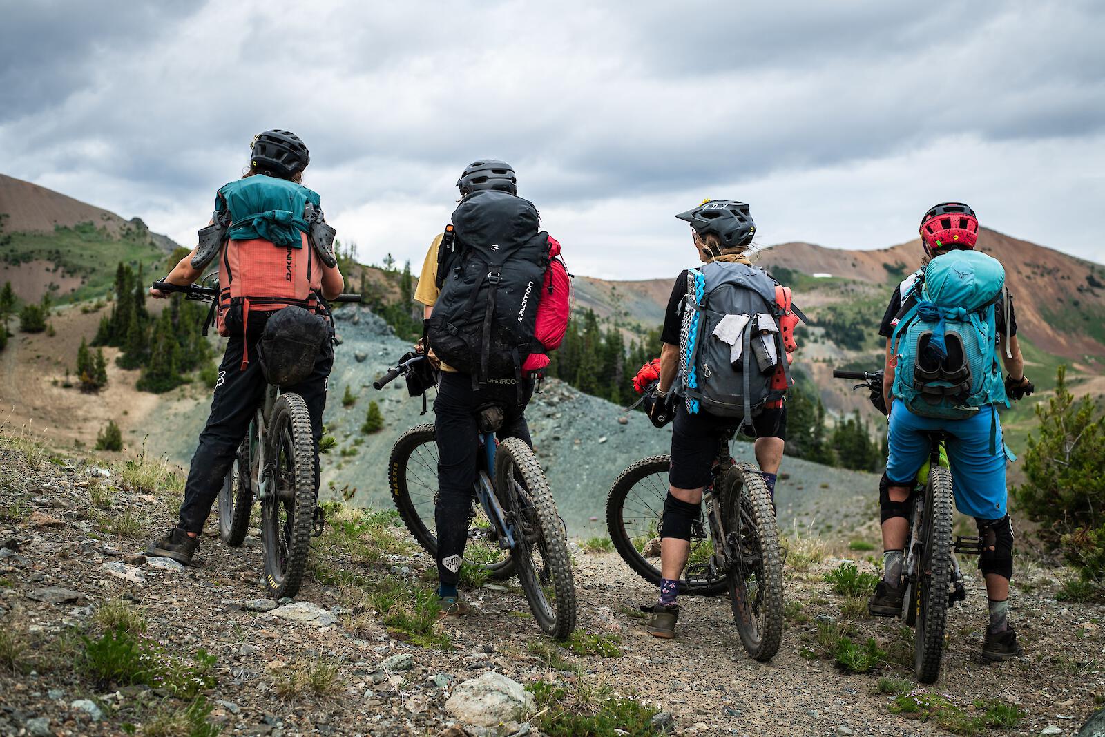
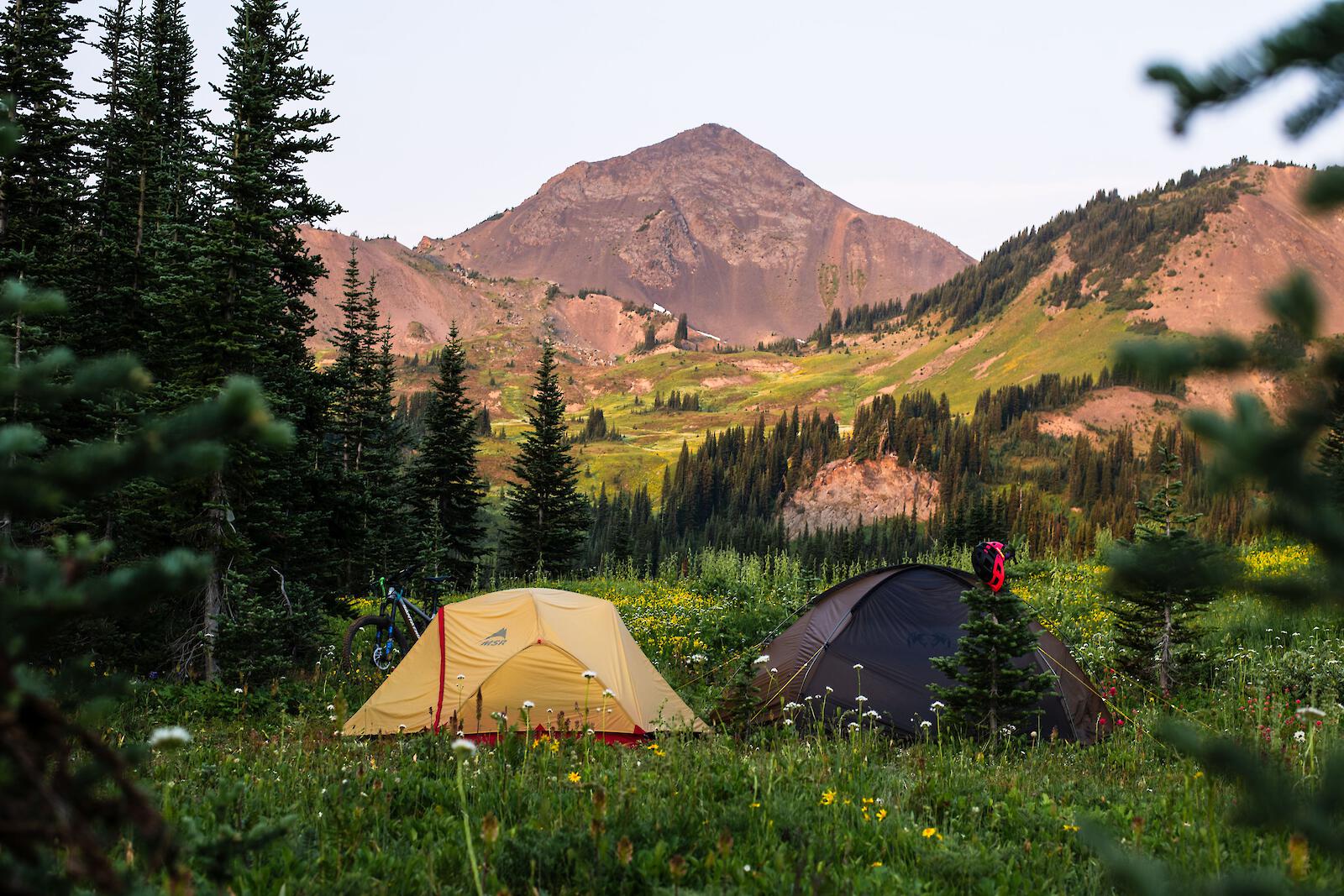
Although we did our trip fully self-supported (carrying all of our camp gear and food), not everyone has to! In fact, you can make your adventure a little more comfortable by checking out Tyax Adventures (https://www.tyaxadventures.com/). They are a company that charters flights (like the one to Lorna Lake) and provide guided multi day tours with experienced guides. If you don't want the heavy weight of carrying food for 4 days, don't worry - they'll cook delicious meals for you too!
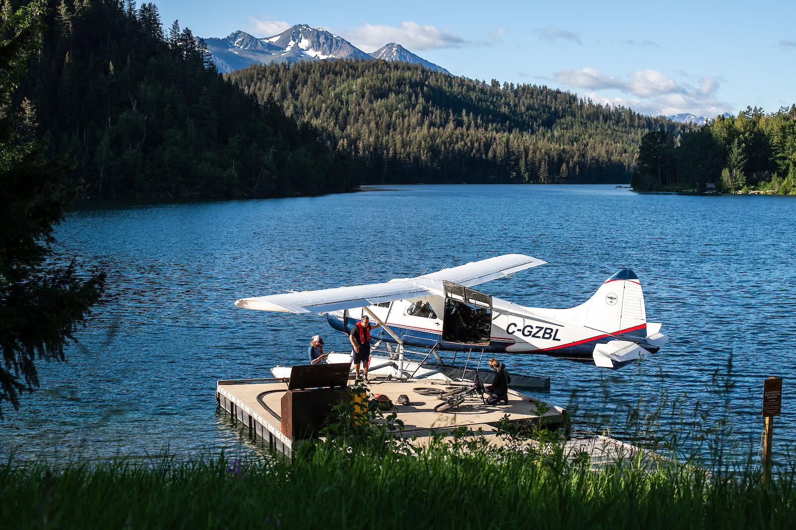
With that being said, with all of its winding trail systems, planning a trip to the Chilcotins can be a bit of a daunting task. To make your life a little easier when planning, I have created a route plan that includes 2 nights and 3 days and is tailored for both intermediate and advanced riders.
Advanced Rider Itinerary
Day 1: Fly to Lorna Lake. Highly recommend this option - booked through Tyax Adventures.
*If your crew chooses no flight - Drive the Relay Creek FSR as far as you can (will need 4x4) and follow Relay Creek Trail to Graveyard Creek Trail, followed by Upper to mid Tyaughton Creek trail to Manson Campground. Total Stats: 32km, 873m climb, 834m descent.
Three options from Lorna Lake:
- Option 1: Climb/Hike-a-bike Lorna Pass Trail, descend using Upper to Mid Tyaughton Creek Trail to Manson Campground. Total Stats: 10km, 332m climb, 594m descent.
- Option 2: Climb/Hike-a-bike Elbow Pass, descent using Upper to Mid Tyaughton Creek Trail to Manson Campground. Total Stats: 15km, 333m climb, 595m descent.
- Option 3: Climb/Hike-a-bike Graveyard creek trail, descend using Upper to Mid Tyaughton Creek Trail to Manson Campground. Total Stats: 27km, 511m climb, 763m descent.
Hot Tip: Drop your heavy pack and sneak in an optional afternoon ride with a trip up to Relay Col. Total Stats: 11km, 615m climb, 447m descent.
Day 2: Climb/Hike-a-bike to Deer Pass trail, descend to Mid Gun Creek Trail to Spruce Lake and camp. Total Stats: 26km, 984m climb, 1076m descent.
Hot Tip: Optional ride up Open Heart Trail Total Stats: 6km (roundtrip), 480m climb, 522m descent.
If you have an extra day in your trip, this is an excellent option where you can ditch your pack and go for an exceptional ride.
Day 3: Climb/Hike-a-bike to High Trail to Windy Pass, descend High Trail to Camel Pass, traverse West Section Ridge-O-Rama to North Cinnabar. Total Stats: 30km, 1482m climb, 1843m descent.
Hot Tip: If you would like a more challenging ride, head to Ridge-O-Rama East Section (double black) and connect with North Cinnabar later.
*Advisory - North Cinnabar has quite a few trees down and a lot of overgrowth which will disrupt your flow. In my opinion, it's still worth the descent, but to be mentally prepared for extra work.
Intermediate Rider Itinerary
(You will find some overlap between the advanced and intermediate itineraries)
Day 1: Hike-a-bike and ride Lorna Pass (10km) or Elbow Pass (15km) to Manson Campground (total stats above).
Day 2: Hike-a-bike and ride to Spruce Lake and camp.
- Option 1: If you are feeling energetic, Deer Pass trail is scenic and worth the hike-a-bike grind.
- Option 2: If the weather is challenging or if the crew desires a more relaxed vibe, you can take Mid Tyaughton Creek Trail to Spruce Lake.
Total Stats: 14km, 225m climb, 344m descent.
Hot Tip: You can always tag on Open Heart Trail in the afternoon if you arrive early or are wanting more.
Day 3: Climb/Hike-a-bike to High Trail to Windy Pass. Descend High Trail to Molly Dog & Pepper Dog to Ken's trail. Total Stats: 23km, 971m climb, 1452m descent.
Hope this article helps make your trip to the Chilcotins a little more exciting and straightforward.
PS. Don't forget your bear spray!
Tips to make your experience to the Chilcotins better
- Bring an extra pair of rubber shoes to cross creeks and rivers
- Make the plan flexible
- Bring good snacks ;)
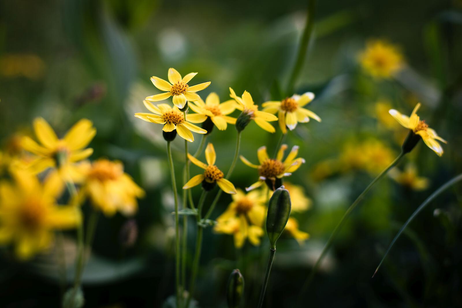
- Go end of July for beautiful wildflowers, end of August for less bugs
- Don’t bring more than a 40L backpack
- Water is plentiful - you don't need more than a 1L water bottle
More information:
